
How to Document Wildlife Management Practices for Texas Appraisal Districts
Keeping a wildlife tax valuation takes more than a management plan. Each year, you have to show that you carried out the practices it describes. I own 14.3 acres in Hays County, and that was the harder part for me. I spoke with a biologist from the Texas Parks and Wildlife Department about what appraisal districts look for. This is what he told me.
Completed practices count; effort does not
The most common problem he sees is landowners who do real work but have nothing to show for it. Wildflower seeds that never sprouted are one example. A water structure still under construction, with no water in it, is another. Districts check whether the practice exists and meets the standard, not how much time or money went into it.
Plan for more than the minimum
Each year you need at least three practices from three different categories, chosen from your management plan. Plan for four or five so you are covered if one fails or is rejected.
Favor practices that are easy to verify
Supplemental water and nest boxes are the simplest to document because anyone can see and confirm them. Practices that depend on plantings establishing or meeting acreage thresholds are harder to prove.
Example: cleaning a water source
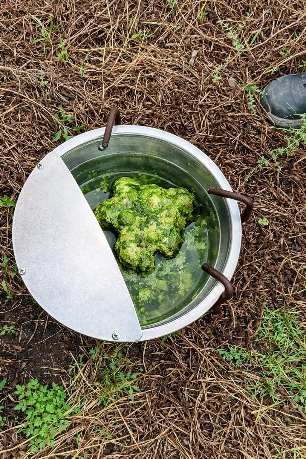
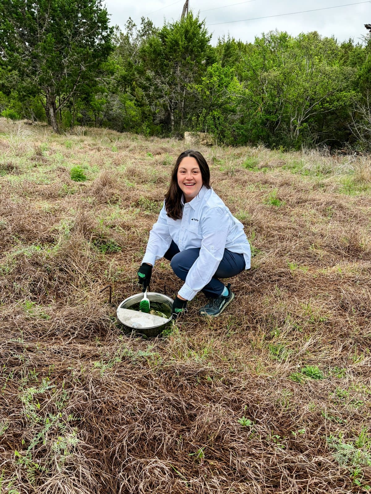
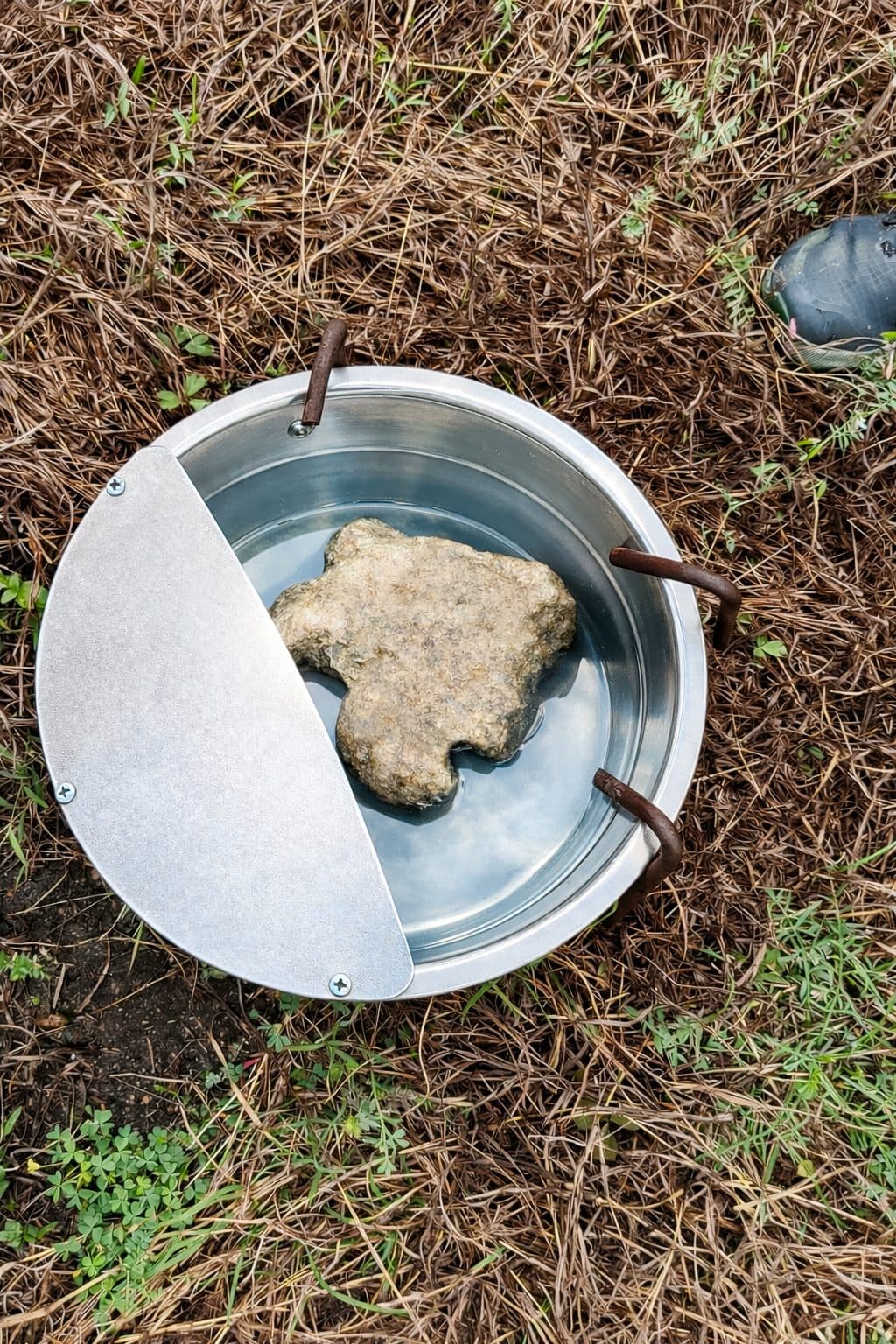
Cleaning a water source is a maintenance task, and it counts as an activity worth logging. Before and after photos are the kind of proof that holds up.
Keep a logbook by calendar year
For each activity, record the date, the time or labor spent, the cost, and any census data. Add photos and a note on where it took place. The standard is roughly the documentation a reasonable person would consider sufficient.
Confirm your county's process
Counties handle this differently. Some require an annual submission and others review records another way. Call your appraisal district to ask what they expect.
I built FieldFile because assembling this documentation at the end of the year was inefficient. It sends reminders so activities happen on time, adds GPS coordinates to every entry, and compiles your log into a report.